Faidhle:Snizort Free Church of Scotland - geograph.org.uk - 658326.jpg
Chan eil dùmhlachd-bhreacaidh nas fhearr ri fhaighinn.
Snizort_Free_Church_of_Scotland_-_geograph.org.uk_-_658326.jpg (613 × 478 pixel, meud an fhaidhle: 67 KB, seòrsa MIME: image/jpeg)
Gearr-chunntas
| Tuairisgeul |
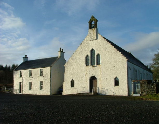
English: Snizort Free Church of Scotland The church, built 1847 is at Skeabost Bridge and sits on the edge of Loch Snizort Beag. |
| Ceann-là | |
| Tùs | From geograph.org.uk |
| Ùghdar | Dave Fergusson |
| Urram (required by the license) | Dave Fergusson / Snizort Free Church of Scotland / |
| Camera location | | View this and other nearby images on: OpenStreetMap |
|---|
_heading:0.00&language=gd)
| Object location | | View this and other nearby images on: OpenStreetMap |
|---|
_heading:0.00&language=gd)
Ceadachadh

|
This image was taken from the Geograph project collection. See this photograph's page on the Geograph website for the photographer's contact details. The copyright on this image is owned by Dave Fergusson and is licensed for reuse under the Creative Commons Attribution-ShareAlike 2.0 license.
|
This file is licensed under the Creative Commons Attribution-Share Alike 2.0 Generic license.
Urram: Dave Fergusson
- Faodaidh tu:
- a cho-roinneadh – lethbhreac a dhèanamh dhen obair, a sgaoileadh is a tar-chur
- ath-mheasgachadh – an obair atharrachadh
- Fo bhuaidh nan cumhaichean a leanas:
- urram – Feumaidh tu iomradh a thoirt air an ùghdar no an neach aig a bheil cead air, dìreach mar a thoill iad (ach chan ann air dòigh a chuireas an sùilean dhaoine gu bheil iad ag aontachadh riut no ri d’ obair).
- co-roinneadh co-ionnann – Ma dh’atharraicheas tu no ma leasaicheas tu an obair seo, ’s urrainn an tionndadh ùr fon cheadachas seo no fo cheadachas coltach ris.
Eachdraidh an fhaidhle
Briog air ceann-là/àm gus am faidhle a shealltainn mar a nochd e aig an àm sin.
| Ceann-là/Àm | Dealbhag | Meud | Cleachdaiche | Beachd | |
|---|---|---|---|---|---|
| làithreach | 16:04, 7 dhen Ghearran 2011 | | 613 × 478 (67 KB) | GeographBot | == {{int:filedesc}} == {{Information |description={{en|1=Snizort Free Church of Scotland The church, built 1847 is at Skeabost Bridge and sits on the edge of Loch Snizort Beag.}} |date=2008-01-14 |source=From [http://www.geograph.org.uk/photo/658326 geogr |
Cleachdadh an fhaidhle
Tha ceangal ris an fhaidhle seo san duilleag a leanas:
Cleachdadh fhaidhlichean uile-choitcheann
Tha na uicidhean eile a leanas a’ cleachdadh an fhaidhle seo
- Cleachdadh air cy.wikipedia.org
- Cleachdadh air en.wikipedia.org
- Cleachdadh air nl.wikipedia.org
- Cleachdadh air pt.wikipedia.org
- Cleachdadh air www.wikidata.org