Faidhle:Ibiza.jpg

Meud an ro-sheallaidh seo: 800 × 599 piogsail. Dùmhlachdan-breacaidh eile: 320 × 240 piogsail | 640 × 479 piogsail | 1,024 × 766 piogsail | 1,280 × 958 piogsail.
Am faidhle tùsail (1,280 × 958 pixel, meud an fhaidhle: 82 KB, seòrsa MIME: image/jpeg)
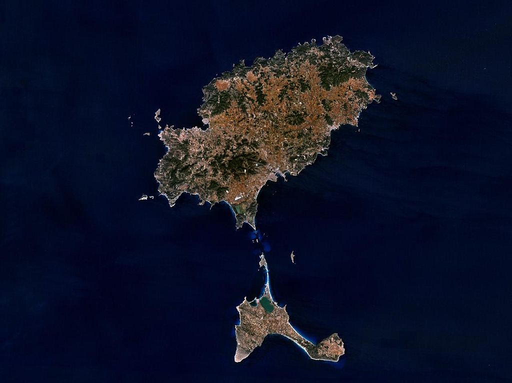
Sattelite image of Ibiza - Source: NASA World Wind - Used Filter: "NTL Landsat7 (Visible Color)" - License: "The Landsat Global Mosiac, Blue Marble, and the USGS raster maps and images are all Public Domain." (See http://www.worldwindcentral.com/wiki/Unofficial_FAQ#Are_images_on_World_Wind_copyrighted.3F )
See also : ![]()
| This image is in the public domain because it is a screenshot from NASA’s globe software World Wind using a public domain layer, such as Blue Marble, MODIS, Landsat, SRTM, USGS or GLOBE.
|
 |
Eachdraidh an fhaidhle
Briog air ceann-là/àm gus am faidhle a shealltainn mar a nochd e aig an àm sin.
| Ceann-là/Àm | Dealbhag | Meud | Cleachdaiche | Beachd | |
|---|---|---|---|---|---|
| làithreach | 08:29, 15 dhen Chèitean 2005 | | 1,280 × 958 (82 KB) | Leipnizkeks | Sattelite image of Ibiza - Source: NASA World Wind - Used Filter: "NTL Landsat7 (Visible Color)" - License: "The Landsat Global Mosiac, Blue Marble, and the USGS raster maps and images are all Public Domain." (See http://www.worldwindcentral.com/wiki/Unof |
Cleachdadh an fhaidhle
Tha ceangal ris an fhaidhle seo sna duilleagan a leanas:
Cleachdadh fhaidhlichean uile-choitcheann
Tha na uicidhean eile a leanas a’ cleachdadh an fhaidhle seo
- Cleachdadh air af.wikipedia.org
- Cleachdadh air an.wikipedia.org
- Cleachdadh air ar.wikipedia.org
- Cleachdadh air arz.wikipedia.org
- Cleachdadh air be.wikipedia.org
- Cleachdadh air br.wikipedia.org
- Cleachdadh air ca.wikipedia.org
- Illes Balears
- Llista d'illes de la mar Mediterrània
- Eivissa
- Portal:Illes Balears
- Portal:Illes Balears/Eivissa
- Pitiüses
- Tagomago
- Plantilla:Distribució en les Illes Balears
- S'Espalmador
- S'Espardell
- Es Freus
- Ses Illetes
- Es Vedrà
- Es Vedranell
- Illa des Penjats
- Geografia dels Països Catalans
- Geografia de les Illes Balears
- Illots de les Pitiüses
- Illa de ses Rates
- Casteví
- Plantilla:Illes i illots de les Pitiüses
- En Caragoler
- En Caragoler Petit
- Illes Negres
- Illa des Porcs
- Illa de s'Alga
- Illa de sa Torreta
- Es Malvins
- Cleachdadh air ceb.wikipedia.org
- Cleachdadh air cs.wikipedia.org
- Cleachdadh air da.wikipedia.org
- Cleachdadh air de.wikipedia.org
Seall an corr dhen chleachdadh uile-choitcheann a nithear dhen fhaidhle seo.