Faidhle:Trallong From Abercamlais - geograph.org.uk - 486769.jpg
Chan eil dùmhlachd-bhreacaidh nas fhearr ri fhaighinn.
Trallong_From_Abercamlais_-_geograph.org.uk_-_486769.jpg (640 × 480 pixel, meud an fhaidhle: 104 KB, seòrsa MIME: image/jpeg)
Gearr-chunntas
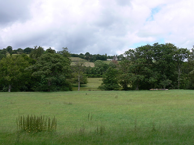
| Tuairisgeul |
English: Trallong From Abercamlais Junction of track from Abercamlais with minor road just visible to left of houses of Trallong village. Out of shot over field in forecground is the River Usk, beyond, a line of undergrowth shows where the disused railway is. |
| Ceann-là | |
| Tùs | From geograph.org.uk |
| Ùghdar | Bonelli |
| Urram (required by the license) | Bonelli / Trallong From Abercamlais / |
| Camera location | | View this and other nearby images on: OpenStreetMap |
|---|
_heading:22.00&language=gd)
| Object location | | View this and other nearby images on: OpenStreetMap |
|---|
_heading:22.00&language=gd)
Ceadachadh

|
This image was taken from the Geograph project collection. See this photograph's page on the Geograph website for the photographer's contact details. The copyright on this image is owned by Bonelli and is licensed for reuse under the Creative Commons Attribution-ShareAlike 2.0 license.
|
This file is licensed under the Creative Commons Attribution-Share Alike 2.0 Generic license.
Urram: Bonelli
- Faodaidh tu:
- a cho-roinneadh – lethbhreac a dhèanamh dhen obair, a sgaoileadh is a tar-chur
- ath-mheasgachadh – an obair atharrachadh
- Fo bhuaidh nan cumhaichean a leanas:
- urram – Feumaidh tu iomradh a thoirt air an ùghdar no an neach aig a bheil cead air, dìreach mar a thoill iad (ach chan ann air dòigh a chuireas an sùilean dhaoine gu bheil iad ag aontachadh riut no ri d’ obair).
- co-roinneadh co-ionnann – Ma dh’atharraicheas tu no ma leasaicheas tu an obair seo, ’s urrainn an tionndadh ùr fon cheadachas seo no fo cheadachas coltach ris.
Eachdraidh an fhaidhle
Briog air ceann-là/àm gus am faidhle a shealltainn mar a nochd e aig an àm sin.
| Ceann-là/Àm | Dealbhag | Meud | Cleachdaiche | Beachd | |
|---|---|---|---|---|---|
| làithreach | 03:06, 5 dhen Ghearran 2011 | | 640 × 480 (104 KB) | GeographBot | == {{int:filedesc}} == {{Information |description={{en|1=Trallong From Abercamlais Junction of track from Abercamlais with minor road just visible to left of houses of Trallong village. Out of shot over field in forecground is the River Usk, beyond, a lin |
Cleachdadh an fhaidhle
Tha ceangal ris an fhaidhle seo san duilleag a leanas:
Cleachdadh fhaidhlichean uile-choitcheann
Tha na uicidhean eile a leanas a’ cleachdadh an fhaidhle seo
- Cleachdadh air ceb.wikipedia.org
- Cleachdadh air cy.wikipedia.org
- Cleachdadh air en.wikipedia.org
- Cleachdadh air eu.wikipedia.org
- Cleachdadh air fa.wikipedia.org
- Cleachdadh air fr.wikipedia.org
- Cleachdadh air ga.wikipedia.org
- Cleachdadh air it.wikipedia.org
- Cleachdadh air kw.wikipedia.org
- Cleachdadh air www.wikidata.org