Faidhle:Map - NL - Municipality code 0867 (2009).svg

Size of this PNG preview of this SVG file: 300 × 160 piogsail. Dùmhlachdan-breacaidh eile: 320 × 171 piogsail | 640 × 341 piogsail | 1,024 × 546 piogsail | 1,280 × 683 piogsail | 2,560 × 1,365 piogsail.
Am faidhle tùsail (Faidhle SVG, a-rèir ainm 300 × 160 pixel, meud faidhle: 530 KB)
| Tuairisgeul |
|
|||
| Ceann-là | ||||
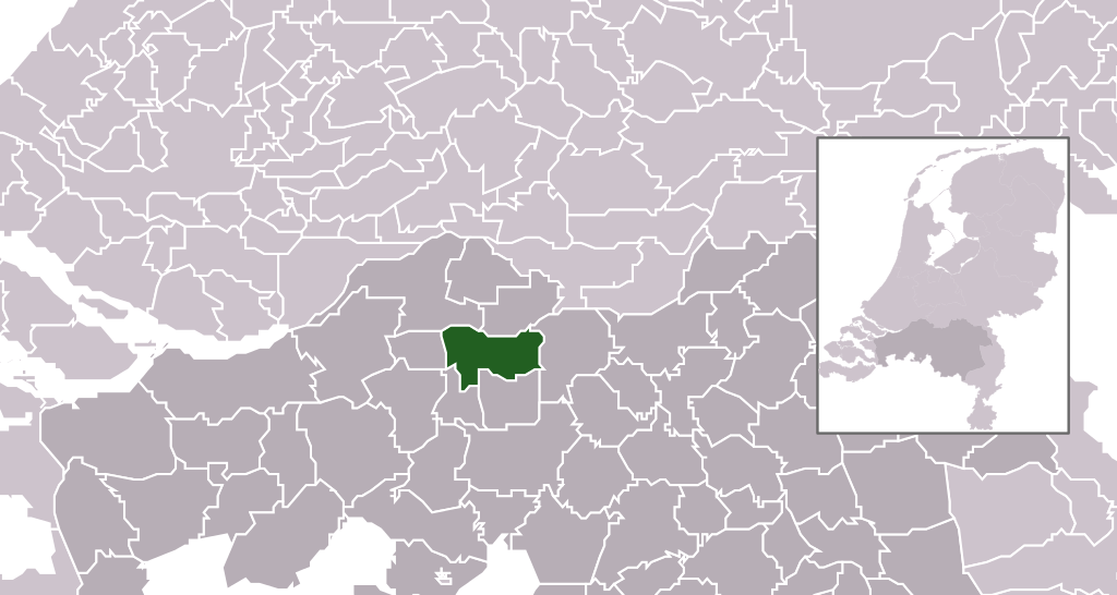
| Tùs | own work , using CBS data | |||
| Ùghdar | Michiel1972 (talk) 23:41, 24 January 2009 (UTC) | |||
| Cead (Ag ath-chleachdadh an fhaidhle seo) |
Attribution ShareAlike 3.0 |

.svg)
Tha am faidhle seo fo cheadachas Creative Commons Attribution-Share Alike 3.0 Unported.
- Faodaidh tu:
- a cho-roinneadh – lethbhreac a dhèanamh dhen obair, a sgaoileadh is a tar-chur
- ath-mheasgachadh – an obair atharrachadh
- Fo bhuaidh nan cumhaichean a leanas:
- urram – Feumaidh tu iomradh a thoirt air an ùghdar no an neach aig a bheil cead air, dìreach mar a thoill iad (ach chan ann air dòigh a chuireas an sùilean dhaoine gu bheil iad ag aontachadh riut no ri d’ obair).
- co-roinneadh co-ionnann – Ma dh’atharraicheas tu no ma leasaicheas tu an obair seo, ’s urrainn an tionndadh ùr fon cheadachas seo no fo cheadachas coltach ris.
Eachdraidh an fhaidhle
Briog air ceann-là/àm gus am faidhle a shealltainn mar a nochd e aig an àm sin.
| Ceann-là/Àm | Dealbhag | Meud | Cleachdaiche | Beachd | |
|---|---|---|---|---|---|
| làithreach | 23:41, 24 dhen Fhaoilleach 2009 | | 300 × 160 (530 KB) | Michiel1972 | {{Information |Description=*Location maps for the 441 municipalities in the Netherlands. Boundaries 1/1/2009 *Automatically generated with script *File name contains "Municipality code" (CBS-code) as specified in: [http://www.cbs.nl/nl-NL/menu/methoden/c |
Cleachdadh an fhaidhle
Tha ceangal ris an fhaidhle seo san duilleag a leanas:
Cleachdadh fhaidhlichean uile-choitcheann
Tha na uicidhean eile a leanas a’ cleachdadh an fhaidhle seo
- Cleachdadh air ar.wikipedia.org
- Cleachdadh air ca.wikipedia.org
- Cleachdadh air en.wikipedia.org
- Cleachdadh air eu.wikipedia.org
- Cleachdadh air fa.wikipedia.org
- Cleachdadh air fr.wikipedia.org
- Cleachdadh air gl.wikipedia.org
- Cleachdadh air hu.wikipedia.org
- Cleachdadh air hy.wikipedia.org
- Cleachdadh air it.wikipedia.org
- Cleachdadh air ko.wikipedia.org
- Cleachdadh air la.wikipedia.org
- Cleachdadh air mk.wikipedia.org
- Cleachdadh air ms.wikipedia.org
- Cleachdadh air nl.wikipedia.org
- Cleachdadh air ru.wikipedia.org
- Cleachdadh air stq.wikipedia.org
- Cleachdadh air tr.wikipedia.org
- Cleachdadh air uk.wikipedia.org
- Cleachdadh air www.wikidata.org
- Cleachdadh air zh-min-nan.wikipedia.org
- Cleachdadh air zh.wikipedia.org
.svg)