Faidhle:Blaena' and the Moelwynion hills from the quarrymen's path to Bowydd Quarry - geograph.org.uk - 581860.jpg
Chan eil dùmhlachd-bhreacaidh nas fhearr ri fhaighinn.
Blaena'_and_the_Moelwynion_hills_from_the_quarrymen's_path_to_Bowydd_Quarry_-_geograph.org.uk_-_581860.jpg (640 × 418 pixel, meud an fhaidhle: 119 KB, seòrsa MIME: image/jpeg)
Gearr-chunntas
| Tuairisgeul |
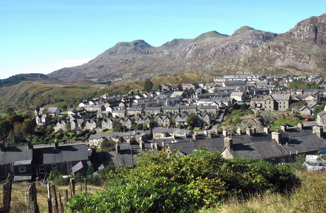
English: Blaena' and the Moelwynion hills from the quarrymen's path to Bowydd Quarry |
| Ceann-là | |
| Tùs | From geograph.org.uk; transferred by User:Skinsmoke using geograph_org2commons. |
| Ùghdar | Eric Jones |
| Cead (Ag ath-chleachdadh an fhaidhle seo) |
Creative Commons Attribution Share-alike license 2.0 |
| Urram (required by the license) | Eric Jones / Blaena' and the Moelwynion hills from the quarrymen's path to Bowydd Quarry / |
| Camera location | | View this and other nearby images on: OpenStreetMap |
|---|
| Object location | | View this and other nearby images on: OpenStreetMap |
|---|
_region:GB-GBN_heading:247.00&language=gd)
Ceadachadh

|
This image was taken from the Geograph project collection. See this photograph's page on the Geograph website for the photographer's contact details. The copyright on this image is owned by Eric Jones and is licensed for reuse under the Creative Commons Attribution-ShareAlike 2.0 license.
|
This file is licensed under the Creative Commons Attribution-Share Alike 2.0 Generic license.
Urram: Eric Jones
- Faodaidh tu:
- a cho-roinneadh – lethbhreac a dhèanamh dhen obair, a sgaoileadh is a tar-chur
- ath-mheasgachadh – an obair atharrachadh
- Fo bhuaidh nan cumhaichean a leanas:
- urram – Feumaidh tu iomradh a thoirt air an ùghdar no an neach aig a bheil cead air, dìreach mar a thoill iad (ach chan ann air dòigh a chuireas an sùilean dhaoine gu bheil iad ag aontachadh riut no ri d’ obair).
- co-roinneadh co-ionnann – Ma dh’atharraicheas tu no ma leasaicheas tu an obair seo, ’s urrainn an tionndadh ùr fon cheadachas seo no fo cheadachas coltach ris.
Eachdraidh an fhaidhle
Briog air ceann-là/àm gus am faidhle a shealltainn mar a nochd e aig an àm sin.
| Ceann-là/Àm | Dealbhag | Meud | Cleachdaiche | Beachd | |
|---|---|---|---|---|---|
| làithreach | 06:24, 12 dhen Fhaoilleach 2010 | | 640 × 418 (119 KB) | File Upload Bot (Magnus Manske) | == {{int:filedesc}} == {{Information |Description={{en|1=Blaena' and the Moelwynion hills from the quarrymen's path to Bowydd Quarry}} |Source=From [http://www.geograph.org.uk/photo/581860 geograph.org.uk]; transferd by User:Skinsmoke using |
Cleachdadh an fhaidhle
Tha ceangal ris an fhaidhle seo san duilleag a leanas:
Cleachdadh fhaidhlichean uile-choitcheann
Tha na uicidhean eile a leanas a’ cleachdadh an fhaidhle seo
- Cleachdadh air br.wikipedia.org
- Cleachdadh air ceb.wikipedia.org
- Cleachdadh air cy.wikipedia.org
- Cleachdadh air en.wikipedia.org
- Cleachdadh air eu.wikipedia.org
- Cleachdadh air fa.wikipedia.org
- Cleachdadh air fr.wikipedia.org
- Cleachdadh air he.wikipedia.org
- Cleachdadh air it.wikipedia.org
- Cleachdadh air kw.wikipedia.org
- Cleachdadh air nl.wikipedia.org
- Cleachdadh air vi.wikipedia.org
- Cleachdadh air www.wikidata.org
- Cleachdadh air zh-min-nan.wikipedia.org