Faidhle:Bangor Maine.JPG
Meud an ro-sheallaidh seo: 800 × 600 piogsail. Dùmhlachdan-breacaidh eile: 320 × 240 piogsail | 640 × 480 piogsail | 1,024 × 768 piogsail | 1,280 × 960 piogsail | 2,560 × 1,920 piogsail | 3,264 × 2,448 piogsail.
Am faidhle tùsail (3,264 × 2,448 pixel, meud an fhaidhle: 2.23 MB, seòrsa MIME: image/jpeg)
|
This is an image of a place or building that is listed on the National Register of Historic Places in the United States of America. Its reference number is 73000142. |
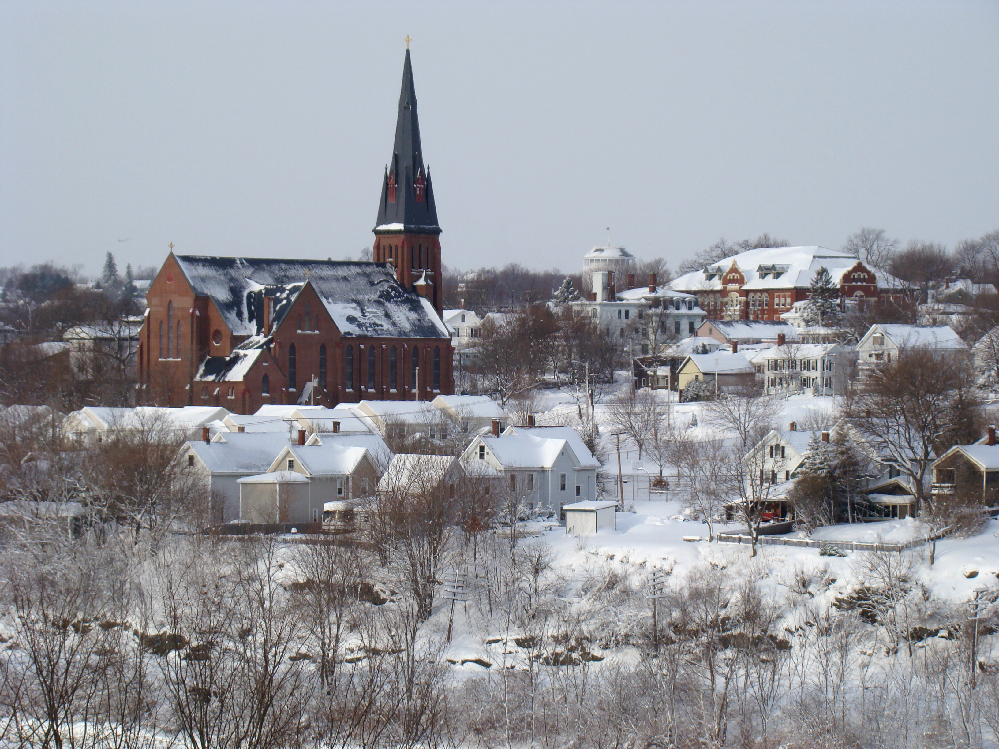
| Tuairisgeul | This is a view of Bangor, Maine from the Indian Trail Park in Brewer, Maine. |
| Ceann-là | Taken on 2 dhen Fhaoilleach 2008 |
| Tùs | Denis Santerre |
| Ùghdar | Slashinme |
| Object location | | View this and other nearby images on: OpenStreetMap |
|---|

|
Permission is granted to copy, distribute and/or modify this document under the terms of the GNU Free Documentation License, Version 1.2 or any later version published by the Free Software Foundation; with no Invariant Sections, no Front-Cover Texts, and no Back-Cover Texts. A copy of the license is included in the section entitled GNU Free Documentation License. |
| Tha am faidhle seo fo cheadachas Creative Commons Attribution-Share Alike 3.0 Unported. | ||
| ||
| This licensing tag was added to this file as part of the GFDL licensing update. |
Eachdraidh an fhaidhle
Briog air ceann-là/àm gus am faidhle a shealltainn mar a nochd e aig an àm sin.
| Ceann-là/Àm | Dealbhag | Meud | Cleachdaiche | Beachd | |
|---|---|---|---|---|---|
| làithreach | 06:41, 19 dhen Dùbhlachd 2019 | | 3,264 × 2,448 (2.23 MB) | WikiPedant | adjusted levels |
| 12:53, 13 dhen Ghiblean 2008 |  | 3,264 × 2,448 (1.9 MB) | Slashinme | {{Information |Description= This is a view of Bangor, Maine from the Indian Trail Park in Brewer, Maine. |Source=self-made |Date=January, 2008 |Author= Slashinme |Permission= |other_versions= }} |
Cleachdadh an fhaidhle
Tha ceangal ris an fhaidhle seo san duilleag a leanas:
Cleachdadh fhaidhlichean uile-choitcheann
Tha na uicidhean eile a leanas a’ cleachdadh an fhaidhle seo
- Cleachdadh air bn.wikipedia.org
- Cleachdadh air el.wikipedia.org
- Cleachdadh air en.wikipedia.org
- Maine
- National Register of Historic Places listings in Penobscot County, Maine
- St. John's Catholic Church (Bangor, Maine)
- List of Catholic churches in the United States
- Talk:Bangor, Maine/trivia
- User:JPRiley/sandbox/Keely
- List of parishes in the Roman Catholic Diocese of Portland
- Portal:Maine
- User:Carlinal/gallery
- User:Geardona
- Cleachdadh air en.wikivoyage.org
- Cleachdadh air eu.wikipedia.org
- Cleachdadh air fo.wikipedia.org
- Cleachdadh air fr.wikipedia.org
- Cleachdadh air fy.wikipedia.org
- Cleachdadh air hsb.wikipedia.org
- Cleachdadh air hy.wikipedia.org
- Cleachdadh air it.wikipedia.org
- Cleachdadh air ja.wikipedia.org
- Cleachdadh air la.wikipedia.org
- Cleachdadh air oc.wikipedia.org
- Cleachdadh air scn.wikipedia.org
- Cleachdadh air www.wikidata.org
- Cleachdadh air zh-min-nan.wikipedia.org